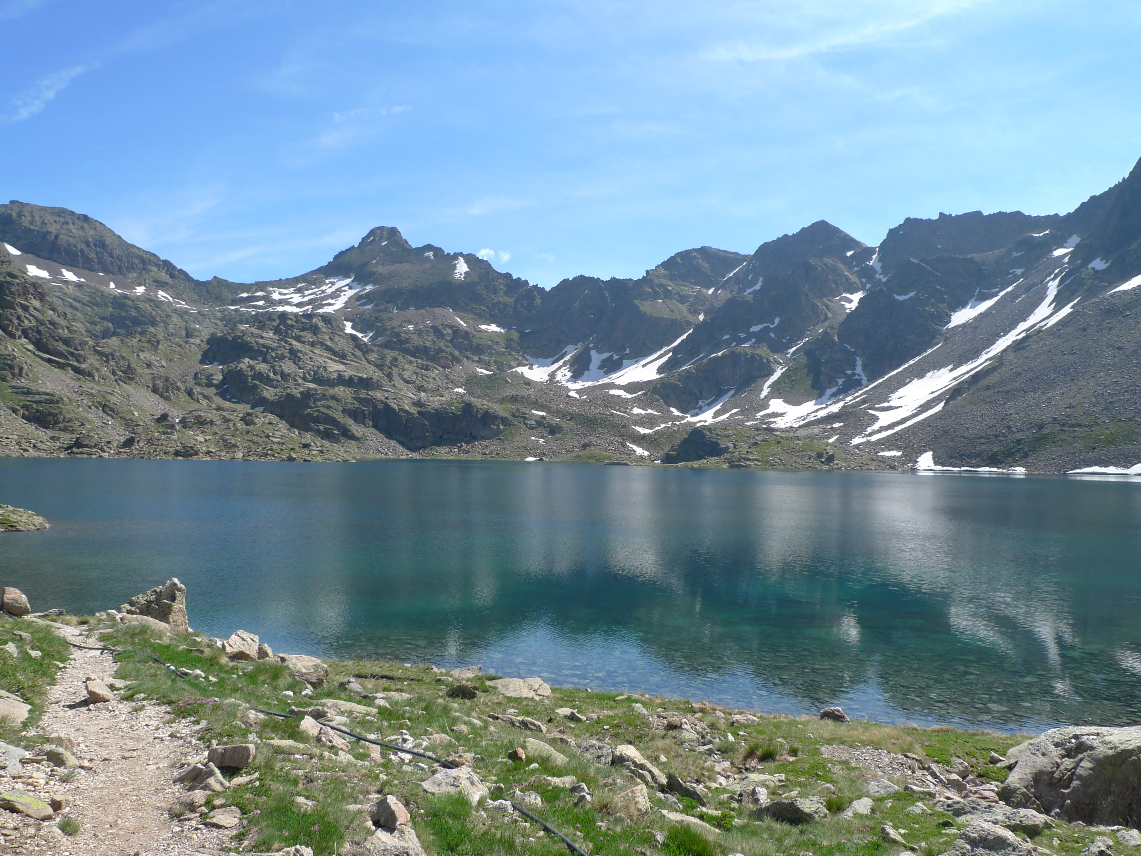
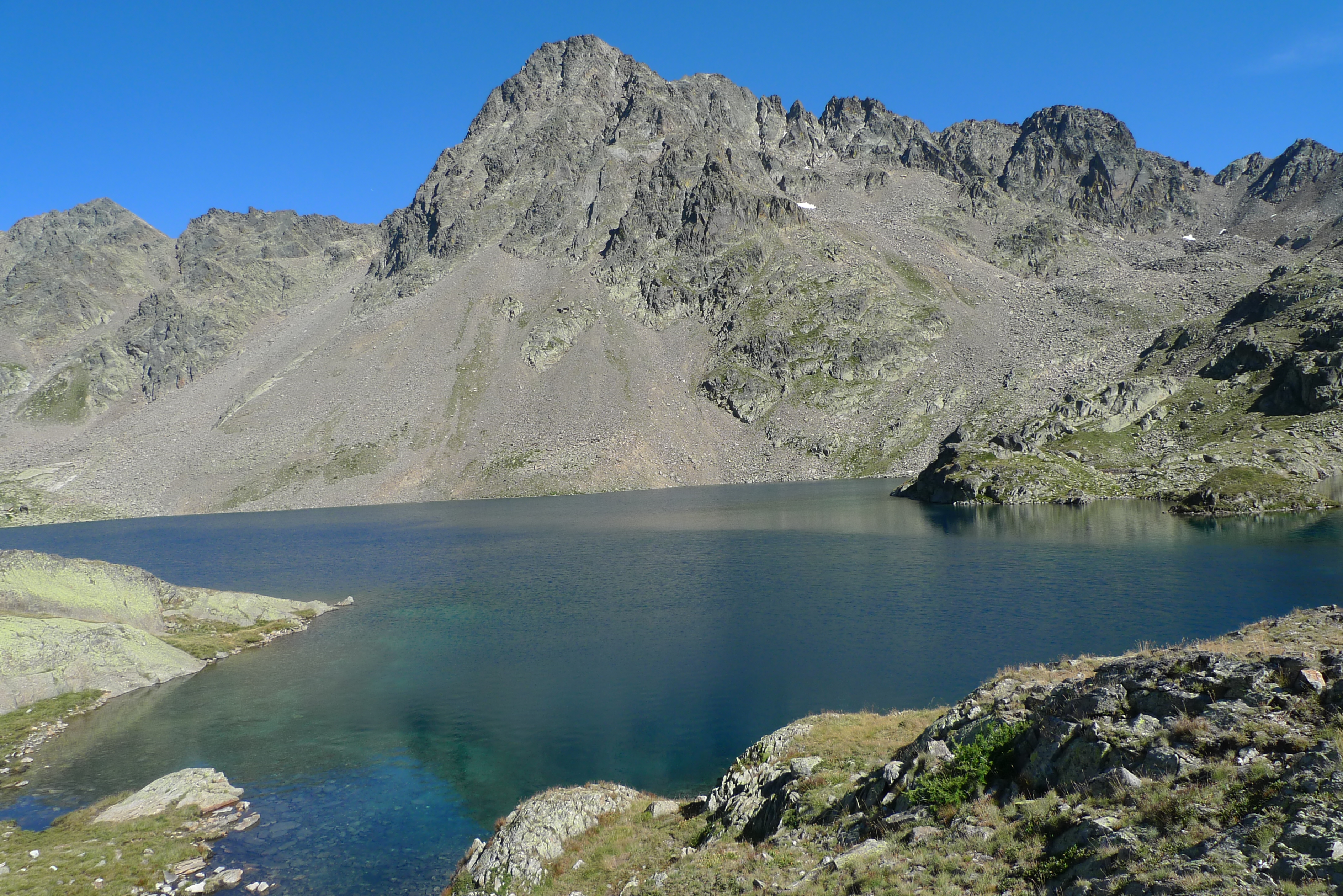
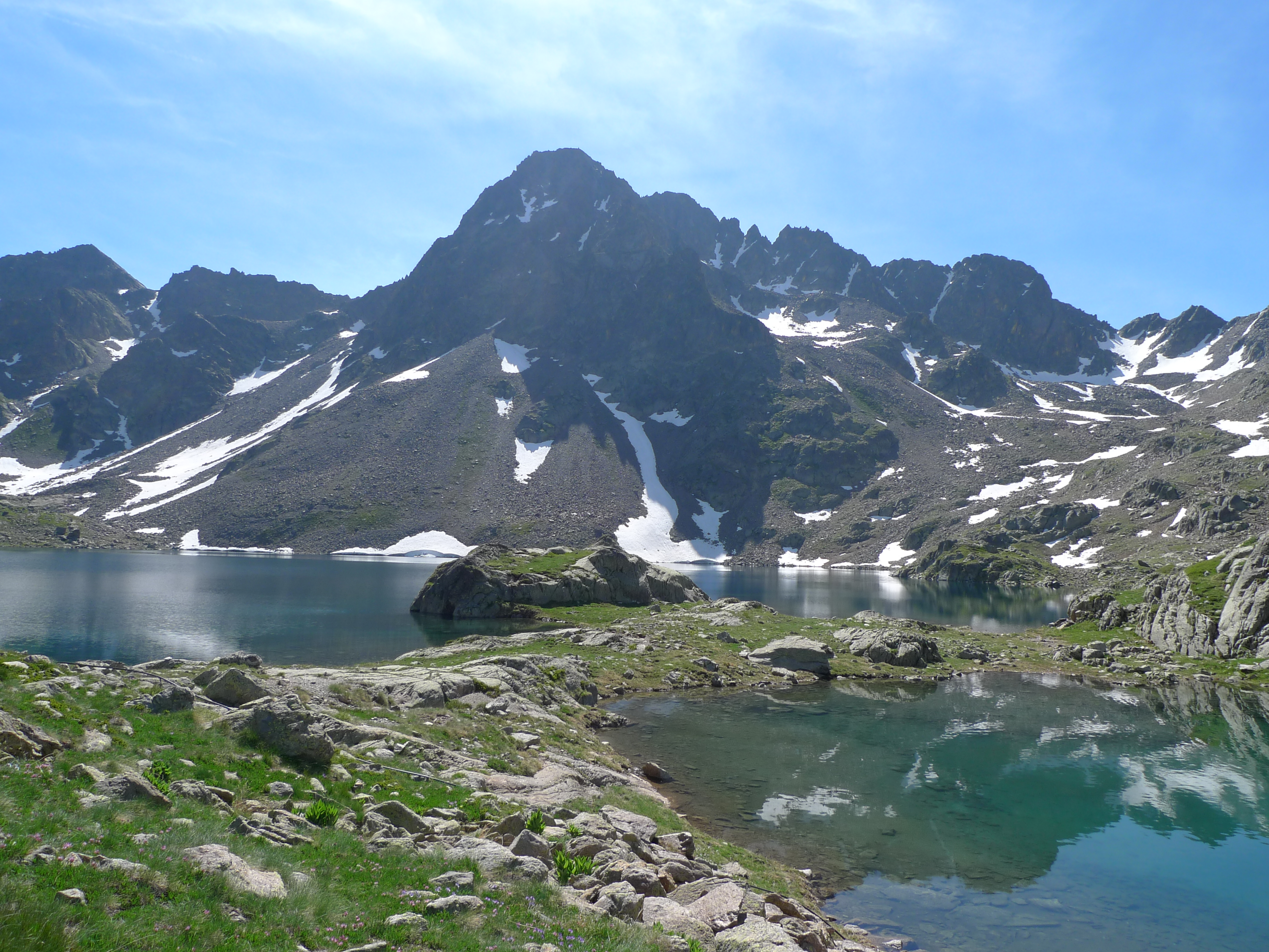
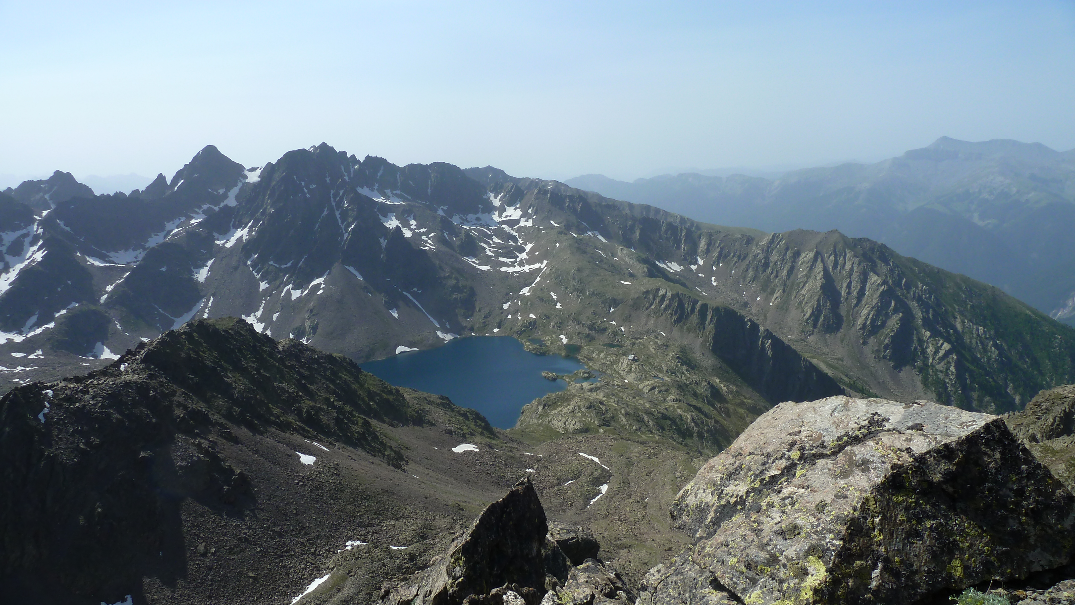
Located at an altitude of 2500m, the glacial cirque of Lake Rabuons, which is the largest high-altitude lake in the Alpes-Maritimes, impresses the hiker from the final climb at the end of the Chemin de l’Energie.
The large lake is notably dominated by Mont Ténibre (3,031 m), Grand Cimon (2,995 m) and Corborant (3,007 m).
Lake Rabuons is 54 meters deep and has an area of 33 ha.
In the 1930s, a hydroelectric power station was planned at Lake Rabuons. The project was finally abandoned but a water intake was installed in 1939. Still operated today by EDF to supply hydroelectric production in the Tinée valley, the water intake was the subject of major restorations in 2013 and 2014.
Depending on the opening of the water intake valves, the level of Lake Rabuons may be below its natural level. Its food comes from rain and melting snow.
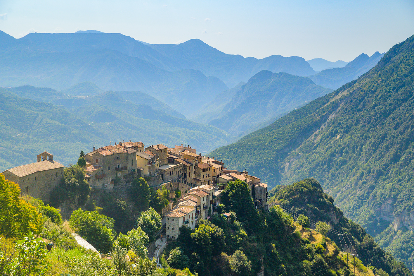
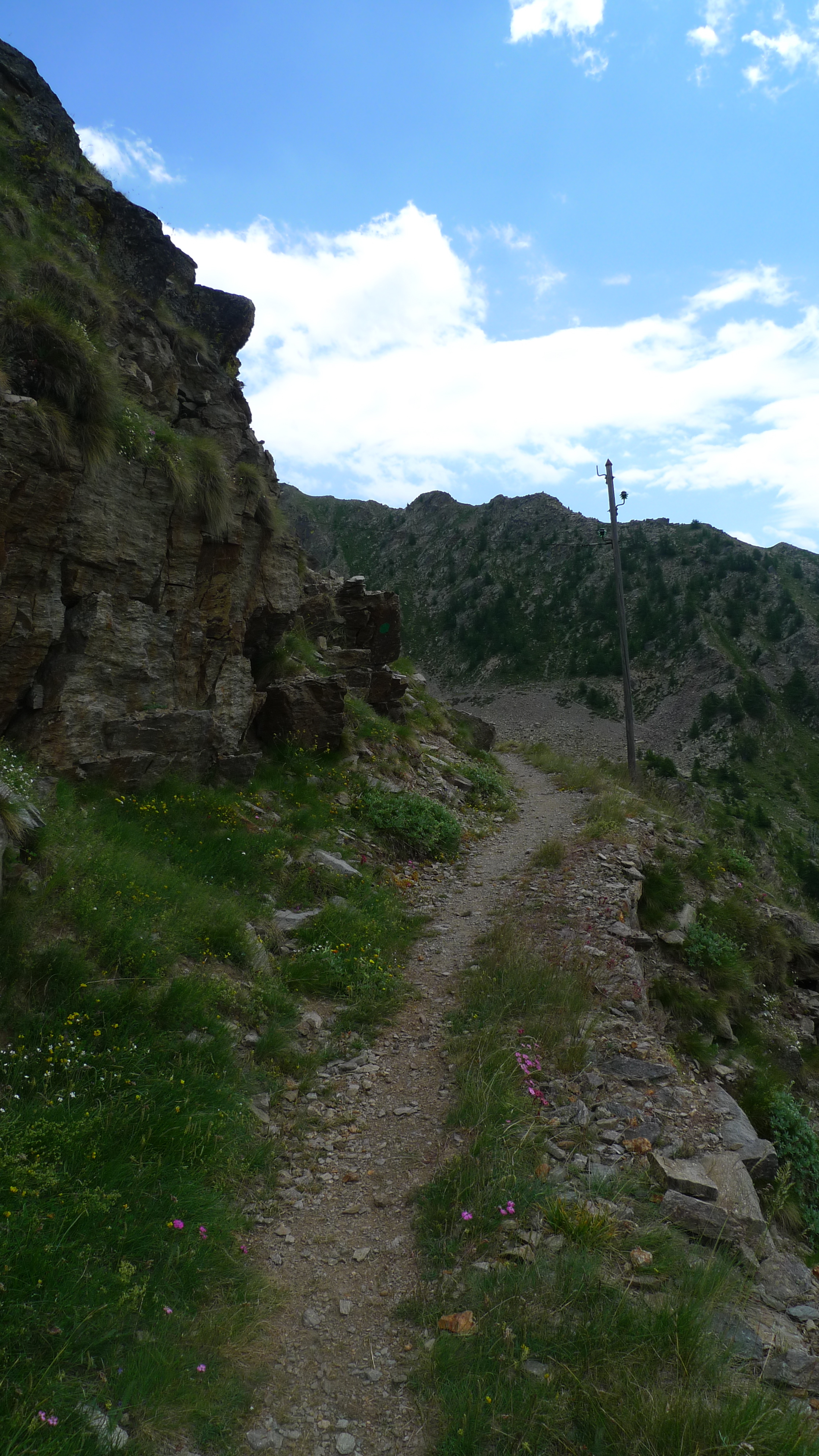
Access to the lake is only by hiking from the village of St Etienne de Tinée or by the Chemin de l’Energie via the Lacs de Vens.
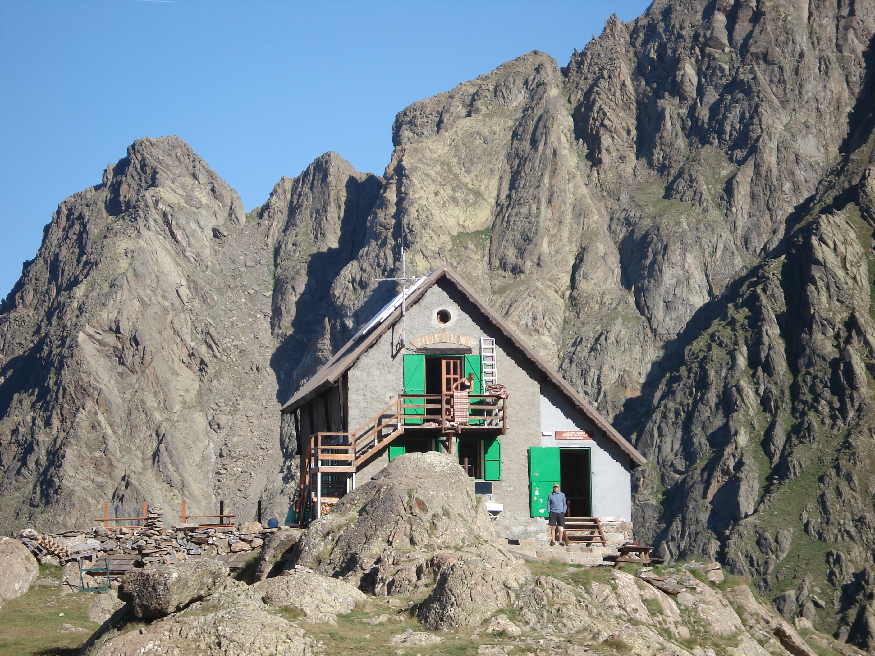
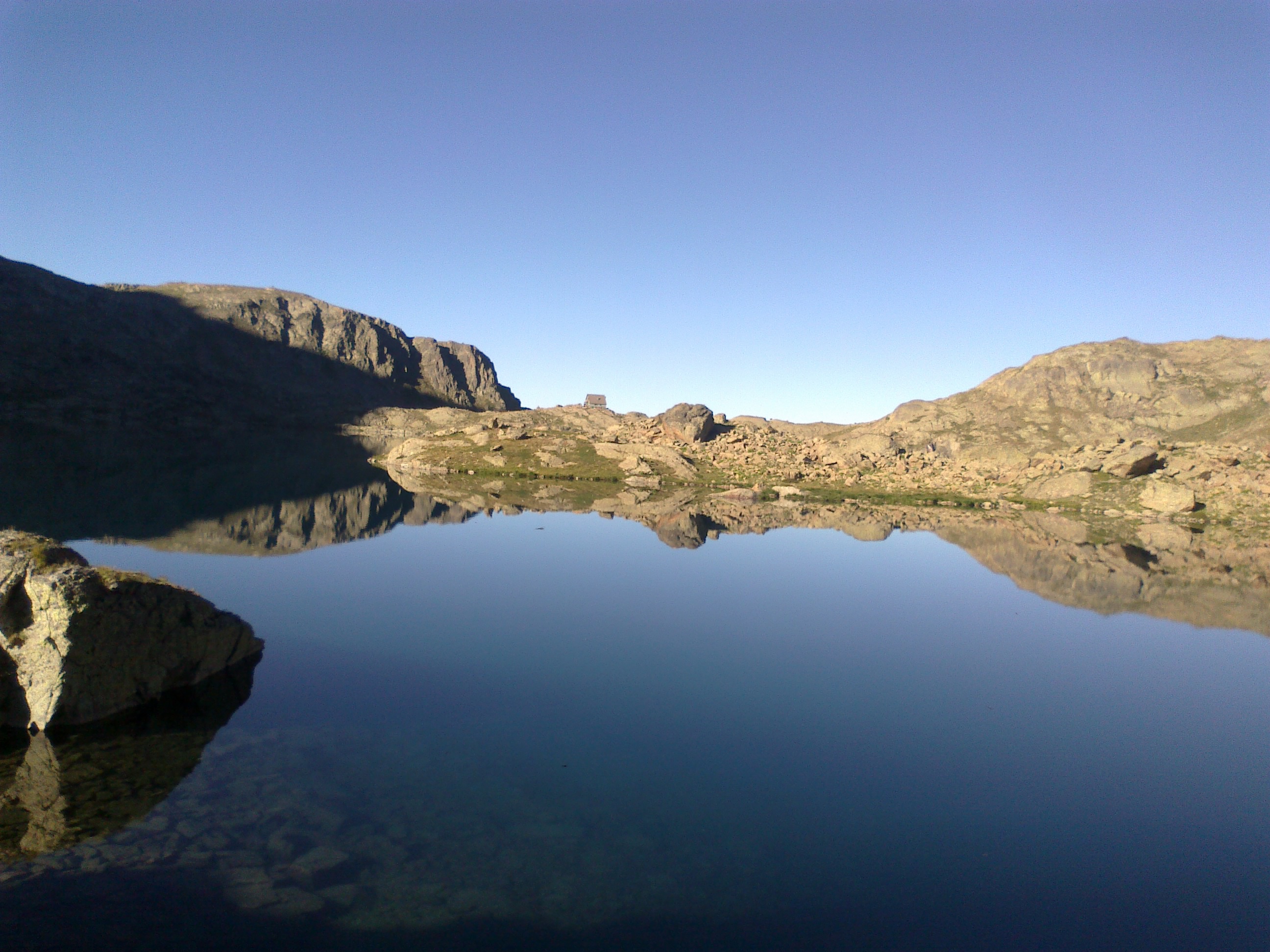
The Rabuons lake refuge is located at an altitude of 2,520 m and its caretaker is present from mid-June to September. It is also a stage of the Grande Traversée du Mercantour and a refueling stage of the UTMB NCA passage. .
The Chevalier de Cessole inaugurated the refuge in July 1905 and canoe races were organized there.
Area bordering the Mercantour Park. Accessible to dogs, be vigilant with the wildlife very present in the area!
Pricing
Free access.