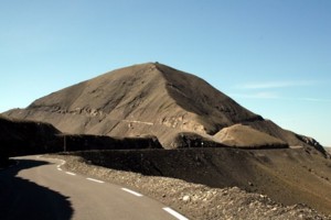
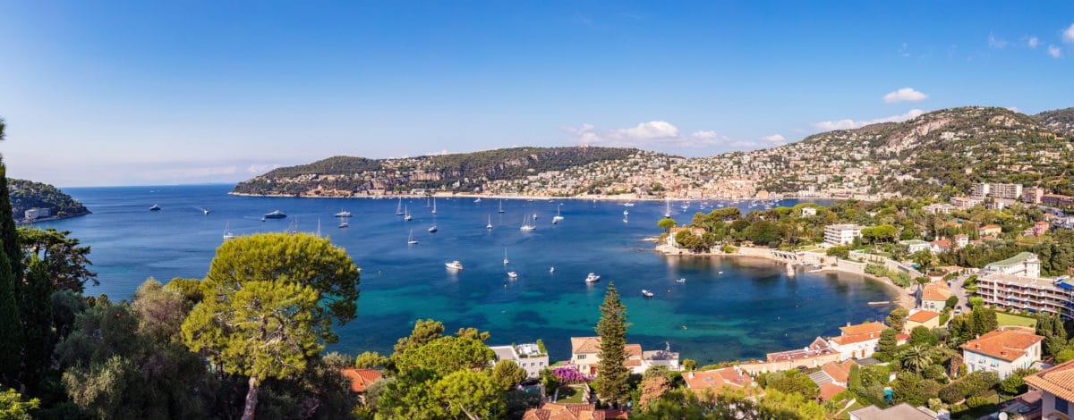
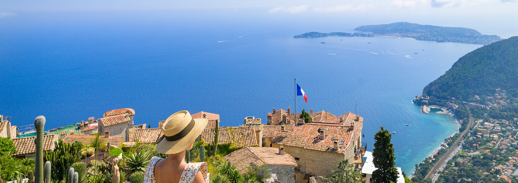
The "Col de la Bonette" road is the shortest way from the Côte d'Azur to the southern Alps (there are 150 km between Nice and Ubaye Valley). It is also the highest road in Europe, at an altitude of 2802 meters.
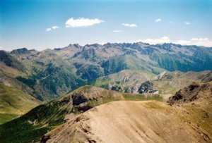
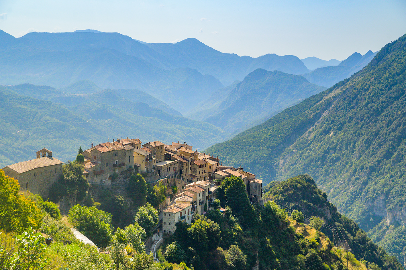
A real ribbon of tourist asphalt evolving in grandiose landscapes, one cannot remain impassive in front of snowy summits, veiled panoramas or plunging valleys.
To discover on the Route de la Bonette, the "Camp des Fourches", a high military place.
The site of the Camp des Fourches is an advanced barracks on a strategic position. Built after the events of the Great War of 14-18, inhabited summer and winter in the 30s, it housed several hundred soldiers under canvas in summer. A cable car passing through the Mont des Fourches made it possible to transport various supplies and military equipment.
At an altitude of 2802 m, the Cime de la Bonette is visited by many vehicles from June to September: cars, campers, motorcycles, or bicycles.
The Alpes-Maritimes department and the Côte d'Azur are linked by the Tinée valley to this passage to the Alpes de Haute Provence and the Ubaye valley.
Discovery route: Mercantour National Park, history, villages, typical hamlets, pastoralism, architecture or characters everything is to discover.
The Tinée and Ubaye valleys have preserved the traces of the strategic importance that man has given them. And what landscapes!
Vast panoramas with a lunar aspect, long threads of dark mineral needles, red rock summits, the Restefond pass is remarkable in more than one way.
Reception of animals
- Pets welcome
Pricing
Free access.
Opening periods
From 15/05 to 15/10/2025. Dates to be confirmed.

