The legendary peak of the Auron resort, visible from the Auron plateau, the peak of Bercha offers a complete panorama of the Mercantour National Park, from South to North in the foreground:
Mont Mounier, Cime de Pal, Bollofré, Pointe des Trois Hommes, Mont Pierre Châtel, and then, in the background, Bonette, Enchastraye, and Ténibre.
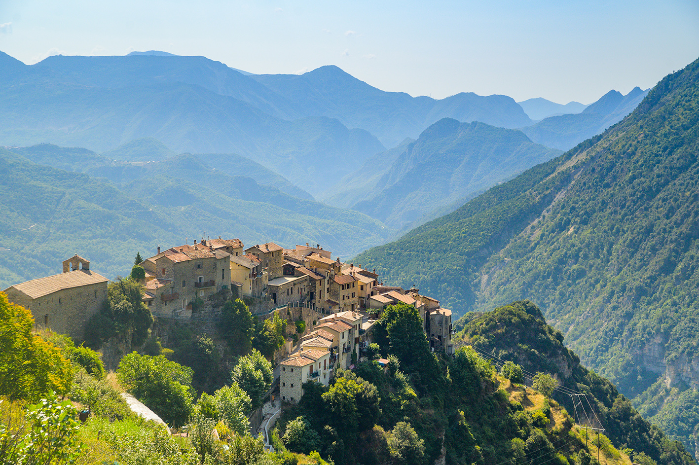
This trail features a rich botanical landscape in the larch forest that successively populates Puy d'Auron, the summit of Auron, and the northern slope of Cime de la Bercha.
Itinerary :
Elevation: +/- 628 meters – Duration: 4 hours (round trip)
Level: Medium
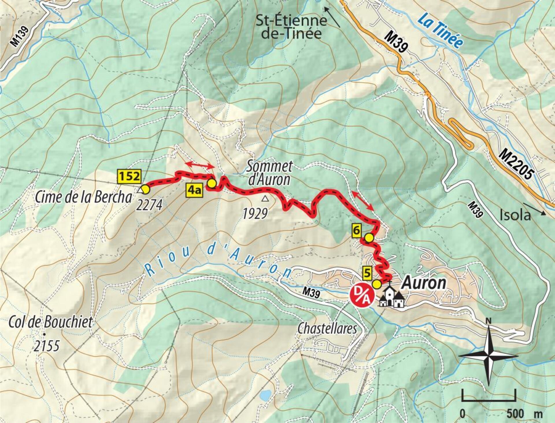
From the Auron Tourist Office (1,646 m – b.5), take the GR®5 trail north, which leads up the paved road (Chemin du Puy d'Auron), which provides access to the resort's water reservoir. At marker 6, above the water tanks, go up the wide trail for about 50 meters, leaving it as soon as the slope steepens in favor of a wooded route on the left that leads to a large clearing.
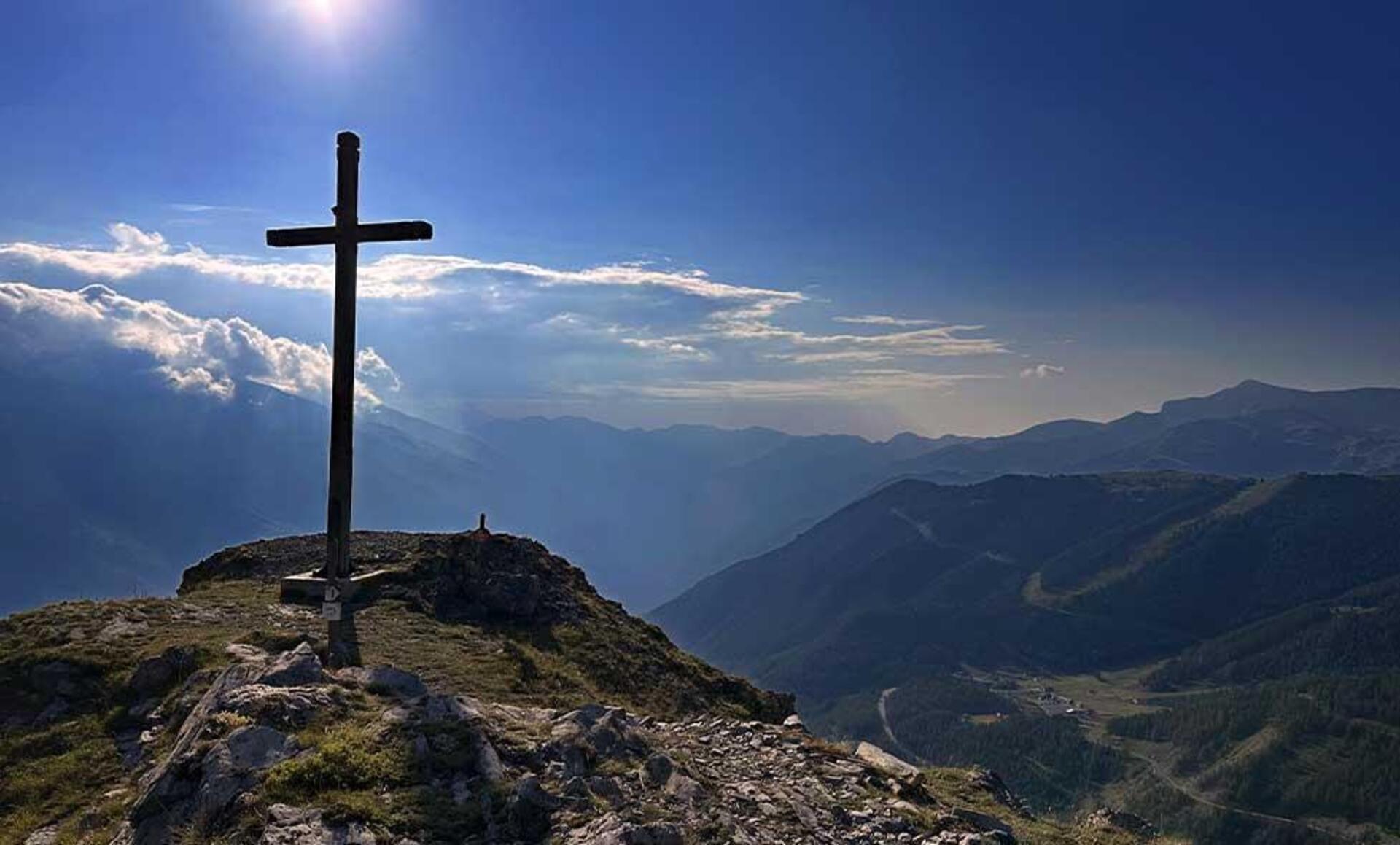
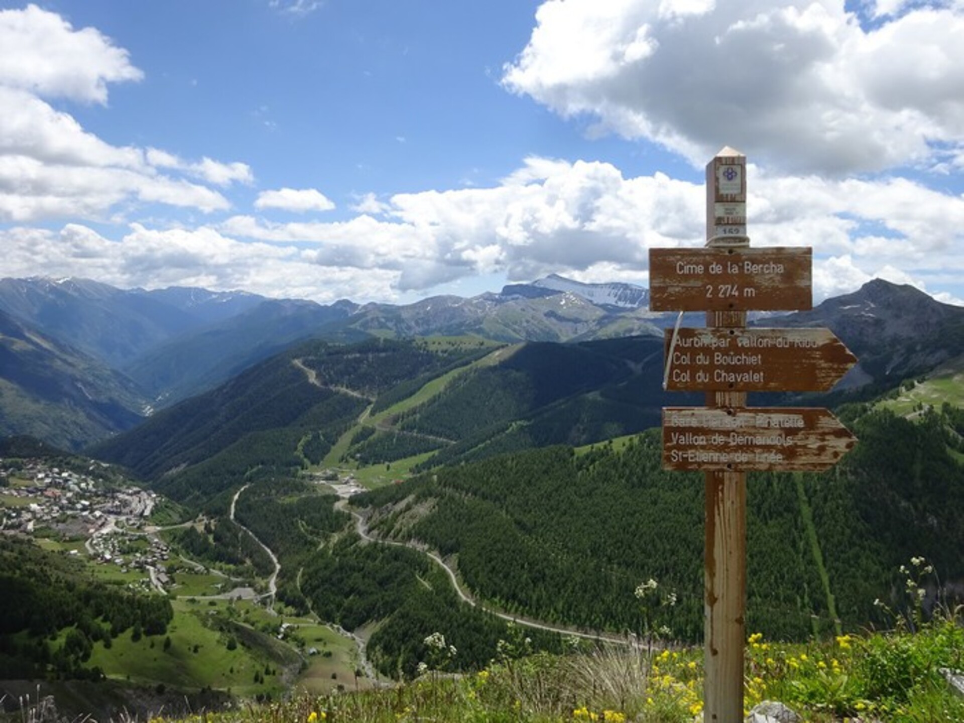
Go to marker 4a on the right, follow an old dirt track that leads to the trailhead. The trail climbs the north slopes of the Bercha and soon emerges onto the ridge. To the left rises the Bercha cross, while to the right looms the ridge leading to the summit. Climb it to easily reach the summit of the Bercha (2,274 m – b.152).
On the way back, you can either follow the route taken on the outward journey, or cross the balcony above the rocky ridge to reach the Estive hillside reservoir (artificial lake) at the Col du Bouchiet (B153). You can then return via the passable track that descends into the Riou valley, then (B15) the forest track, and finally the small path that leads out onto the Nabines trail (B8). Follow this path to the left, then a little further on, to the right, pick up the Riou trail, which returns to the tourist office.
This hike is suitable for dogs. Be careful, however, of the flocks of sheep grazing in the area!
Pricing
Free access.
Opening periods
From 01/05 to 15/10.