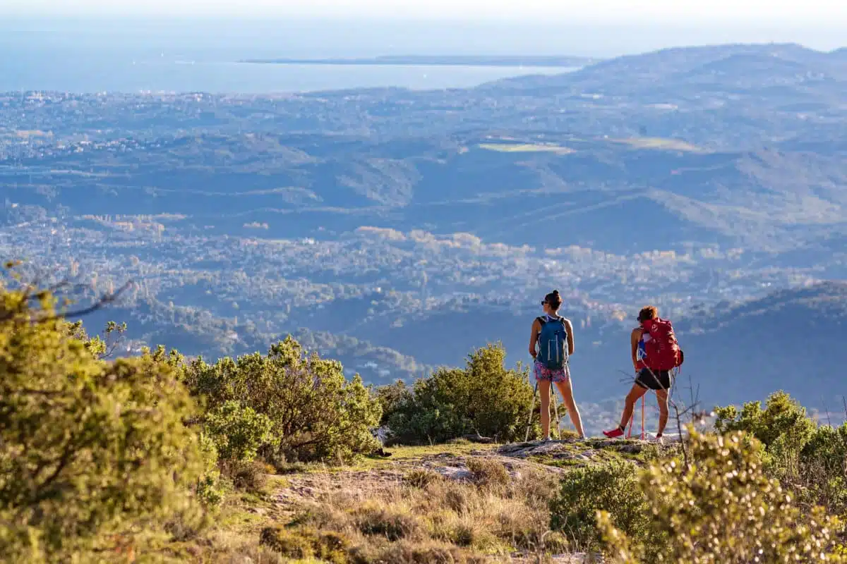
Climbing summits
Explore the highest mountains of Nice Côte d’Azur
Set off to scale the peaks of the Nice highlands and discover breathtaking scenery! From accessible hikes to more challenging routes, explore the Tinée and Vésubie valleys, as well as the Tournairet massif.


Summit conquest in the high country ⛰️
Looking for a way to reconnect with nature? Discover the mountains and the most beautiful peaks of Nice Côte d’Azur! Each hike is a promise of adventure and wonder. Whether you’re an explorer in search of the highest peaks or a lover of gentle strolls, let the beauty of Nice Côte d’Azur be your guide.
Short walk in Tournefort: Le Pic Charvet
Difficulty: MEDIUM
⏱ Duration: 2h30
🥾 Distance: 6,1 km
↗️ Ascent: 339 m
↘️ Descent: 339 m
Short walk in Isola : Louch and chestnut grove circuits
Difficulty: EASY
⏱ Duration: 2h10
🥾 Distance : 5,5 km
↗️ Ascent: 421 m
↘️ Descent: 418 m
Discovering the Natura 2000 site “Site à Chauves-souris de la Haute-Tinée” – from St Etienne de Tinée
Difficulty: MEDIUM
⏱ Duration: 4h00
🥾 Distance : 7,4 km
↗️ Ascent: 672 m
↘️ Descent: 183 m
Saint-Martin-Vésubie – La Madone de Fenestre / Pagarine Route (stage 6)
Difficulty: DIFFICULT
⏱ Duration: 6h00
🥾 Distance : 15,4 km
↗️ Ascent: 1 505 m
↘️ Descent: 536 m
Autier lake
Difficulty: MEDIUM
⏱ Duration: 5h00
🥾 Distance : 6,6 km
↗️ Ascent: 636 m
↘️ Descent: 637 m
💡 This summer, head to the Gordolasque valley with the hiking shuttle service
A walk in the footsteps of Belle et Sébastien
Difficulty: EASY
⏱ Duration: 2h00
🥾 Distance : 2,7 km
↗️ Ascent: 130 m
↘️ Descent: 122 m
💡 This summer, head to the Gordolasque valley with the hiking shuttle service
Niré lake
Difficulty: MEDIUM
⏱ Duration: 5h00
🥾 Distance : 11,9 km
↗️ Ascent: 756 m
↘️ Descent: 757 m
💡 This summer, head to the Gordolasque valley with the hiking shuttle service
Le Pas de l’Arpette
Difficulty: MEDIUM
⏱ Duration: 5h18
🥾 Distance : 7,5 km
↗️ Ascent: 813 m
↘️ Descent: 810 m
💡 This summer, head to the Gordolasque valley with the hiking shuttle service
The Madonna of Fenestre – San Giacomo di Entracque / Pagarine Route (stage 7)
Difficulty: MEDIUM
⏱ Duration: 4h00
🥾 Distance : 13,2 km
↗️ Ascent: 1 225 m
↘️ Descent: 1 256 m
Discover the Natura 2000 site “Site à Spéléomantes de Roquebillière”
Difficulty: MEDIUM
⏱ Duration: 4h30
🥾 Distance : 7,1 km
↗️ Ascent: 733 m
↘️ Descent: 733 m
Short walk in Belvédère : Planet circuit
Difficulty: EASY
⏱ Duration: 1h00
🥾 Distance : 2,8 km
↗️ Ascent: 149 m
↘️ Descent: 149 m
Roquebillière – Saint-Martin-Vésubie / Pagarine Route (stage 5)
Difficulty: DIFFICULT
⏱ Duration: 6h00
🥾 Distance : 18,3 km
↗️ Ascent: 1 100 m
↘️ Descent: 739 m