Between sea and mountains
Between the sea and the mountains, this is where the escape begins!
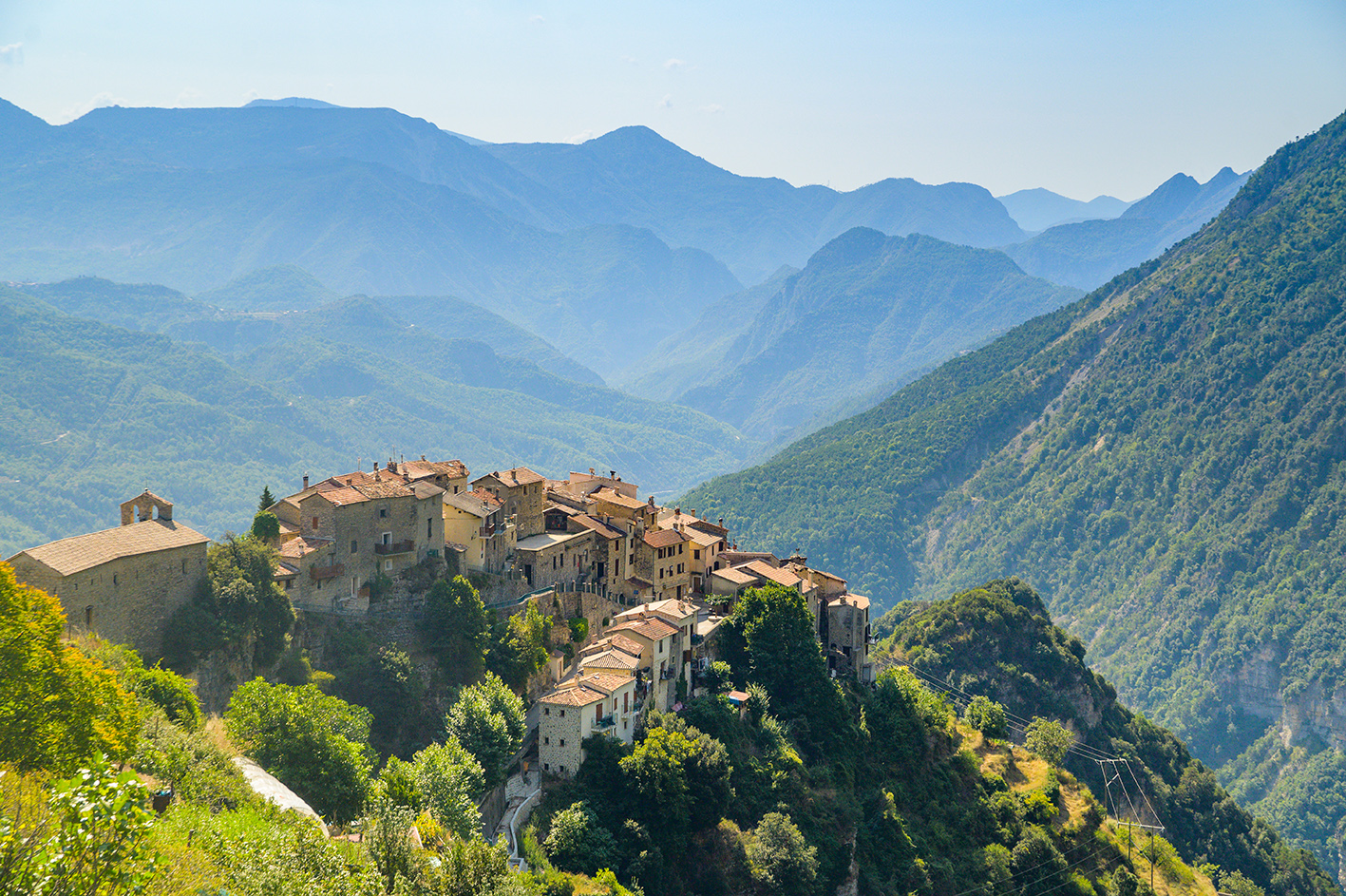
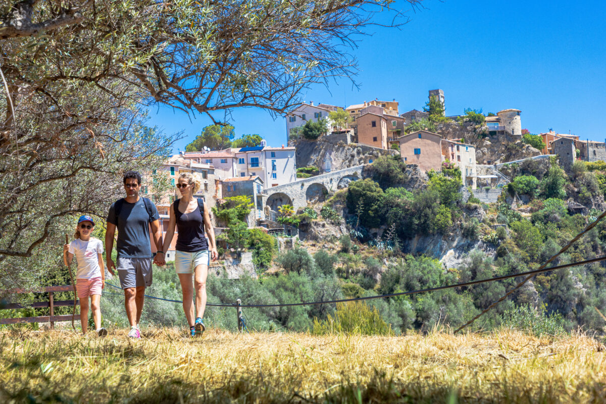
Looking for an escapade between the azure sea and majestic peaks? The Nice Côte d’Azur region invites you to put on your boots and take to the paths that wind through the hilltop villages.


Discover 11 walks between the sea and the mountains:
Here, every hike is an adventure, with panoramic views stretching from the sky to the Mediterranean! Let yourself be surprised by the beauty of the routes, where nature and authenticity meet at every turn.
Aspremont – Levens / Pagarine Route (stage 2)
Difficulty: EASY
⏱ Duration: 3h00
🥾 Distance: 10,4 km
↗️ Ascent: 485 m
↘️ Descent: 500 m
Short walk in Aspremont: Mont Chauve circuit
Difficulty: EASY
⏱ Duration: 2h30
🥾 Distance: 6,5 km
↗️ Ascent: 287 m
↘️ Descent: 287 m
Short walk: La Gaude circuit
Difficulty: EASY
⏱ Duration: 2h15
🥾 Distance: 8 km
↗️ Ascent: 195 m
↘️ Descent: 197 m
Short walk in Vence : Baou des Blancs circuit
Difficulty: MEDIUM
⏱ Duration: 3h00
🥾 Distance: 7 km
↗️ Ascent: 391 m
↘️ Descent: 403 m
Short walk in Saint-Jeannet : Les Baous de la Gaude and St-Jeannet
Difficulty: MEDIUM
⏱ Duration: 5h00
🥾 Distance: 12,2 km
↗️ Ascent: 659 m
↘️ Descent: 667 m
Short walk in Bonson : Le collet Saint-André
Difficulty: EASY
⏱ Duration: 1h30
🥾 Distance: 2,6 km
↗️ Ascent: 232 m
↘️ Descent: 232 m
Short walk in Levens: the Arpasse circuit
Difficulty: MEDIUM
⏱ Duration: 2h30
🥾 Distance: 9,6 km
↗️ Ascent: 379 m
↘️ Descent: 379 m
Levens – Utelle / Pagarine Route (stage 3)
Difficulty: MEDIUM
⏱ Duration: 5h15
🥾 Distance: 16,5 km
↗️ Ascent: 1 044 m
↘️ Descent: 775 m
Utelle – Roquebillière / Pagarine Route (stage 4)
Difficulty: MEDIUM
⏱ Duration: 5h30
🥾 Distance: 19,9 km
↗️ Ascent: 760 m
↘️ Descent: 1 134 m
Chemin de Nietzsche – Èze
Difficulty: EASY
⏱ Duration: 1h30
🥾 Distance: 3,8 km
↗️ Ascent: 350 m
↘️ Descent: 345 m
Short walk in Eze: Fort de la Revère circuit
Difficulty: EASY
⏱ Duration: 3h15
🥾 Distance: 6 km
↗️ Ascent: 422 m
↘️ Descent: 421 m